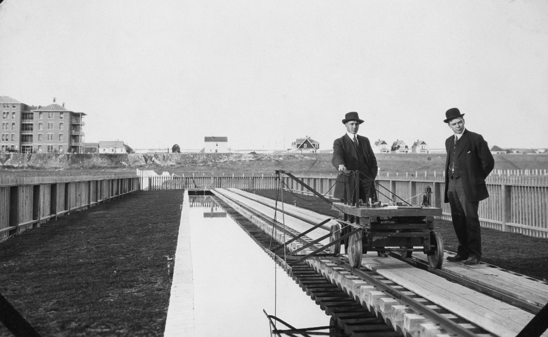
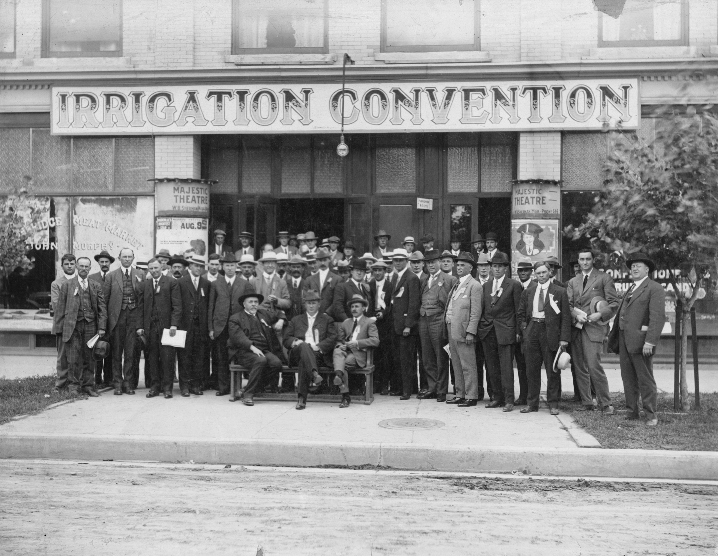
Photo courtesy of Glenbow Archives NA-5200-21OS
Irrigation Transforms Southern Alberta
After enduring prolonged drought a few years earlier, farmers in 1923 were eagerly awaiting the completion of a new irrigation system between Fort Macleod and Turin that would bring water to more than 50,000 hectares of land.
Mother Nature had other plans.
A one-in-100-years flood roared down the Oldman River, washing away two years of construction.
Engineers had designed a unique, reinforced-concrete weir that diverted water on the river’s south side, then carried it back across farther downstream via an overhead metal channel. The purpose was to take water across the Rocky and Whitelake coulees. Also part of the system was an 85-kilometre earthen canal with a 22-cubic-metre-per-second capacity, which would deliver diverted water to the farmers.
Much of the project was destroyed by the flood, but repairs quickly began, and the Lethbridge Northern Irrigation District started operations the following season.
This wasn’t the first irrigation project to turn southern Alberta’s dry, arid land into lush, green fields.
Early settlers had dammed creeks to water their crops. Then in 1897, Alberta’s first diversion dam was constructed where Cardston now stands. Built by the Alberta Irrigation Co., in cooperation with the federal government, it brought water to almost 40,500 hectares of land around Magrath, Raymond, and Stirling.
Over the years, a vast network of dams, reservoirs, canals, and pipelines has been built across the province’s south, through a mix of public and private investments, bringing prosperity to a region that explorers had deemed uninhabitable.
“Irrigation provides for a wide diversity of crops and for the growing and feeding of livestock. It provides opportunity for home building, for maintaining a higher standard of living, and for improved education facilities and social advantages.”
Those words were written by mechanical engineer Penrose Sauder, P.Eng., also known as Mr. Irrigation. He joined the Lethbridge Northern Irrigation District (LNID) in 1920, serving at various times as a project manager and a trustee.
In 1935, in response to widespread drought, land degradation, and farm abandonment, the federal government established the Prairie Farm Rehabilitation Administration (PFRA) to promote sustainable development on the prairies.
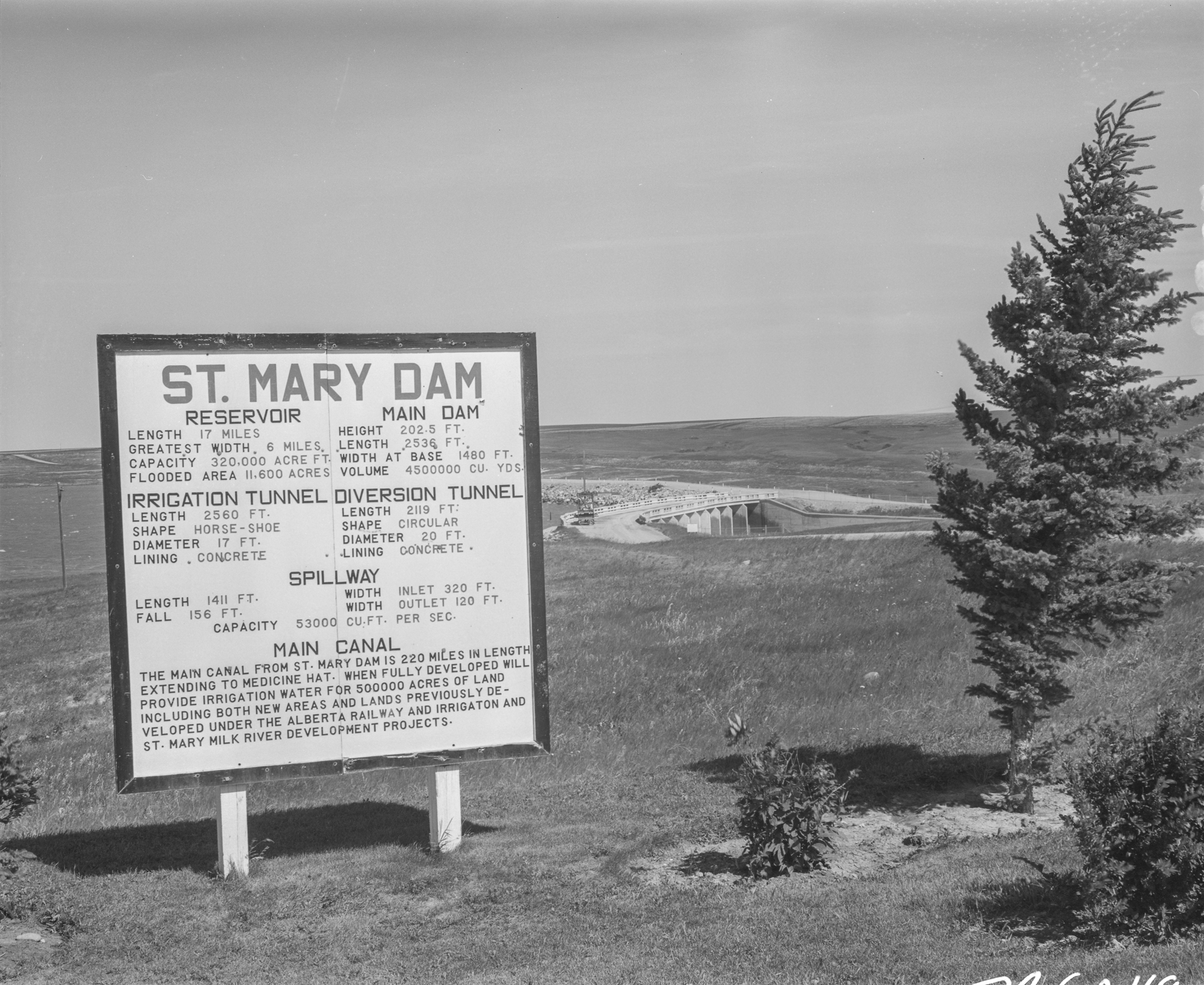
The PFRA built several irrigation projects in Alberta, including the St. Mary Irrigation District, which Mr. Irrigation managed for a time. Today, it is Canada’s largest irrigation district and one of its oldest, with a history dating from the late 1800s. The district delivers water to more than 150,500 hectares of land along the Oldman River and the South Saskatchewan River between Lethbridge and Medicine Hat.
The St. Mary and Milk River Development shifted into high gear in 1946. A dam was built on St. Mary River that year—the first one in Canada to be designed, constructed, and instrument-monitored based on soil mechanics principles. Irrigation reached Medicine Hat in 1954 with the completion of the St. Mary main canal. Further works included a diversion structure on Belly River and construction of the Waterton Dam.
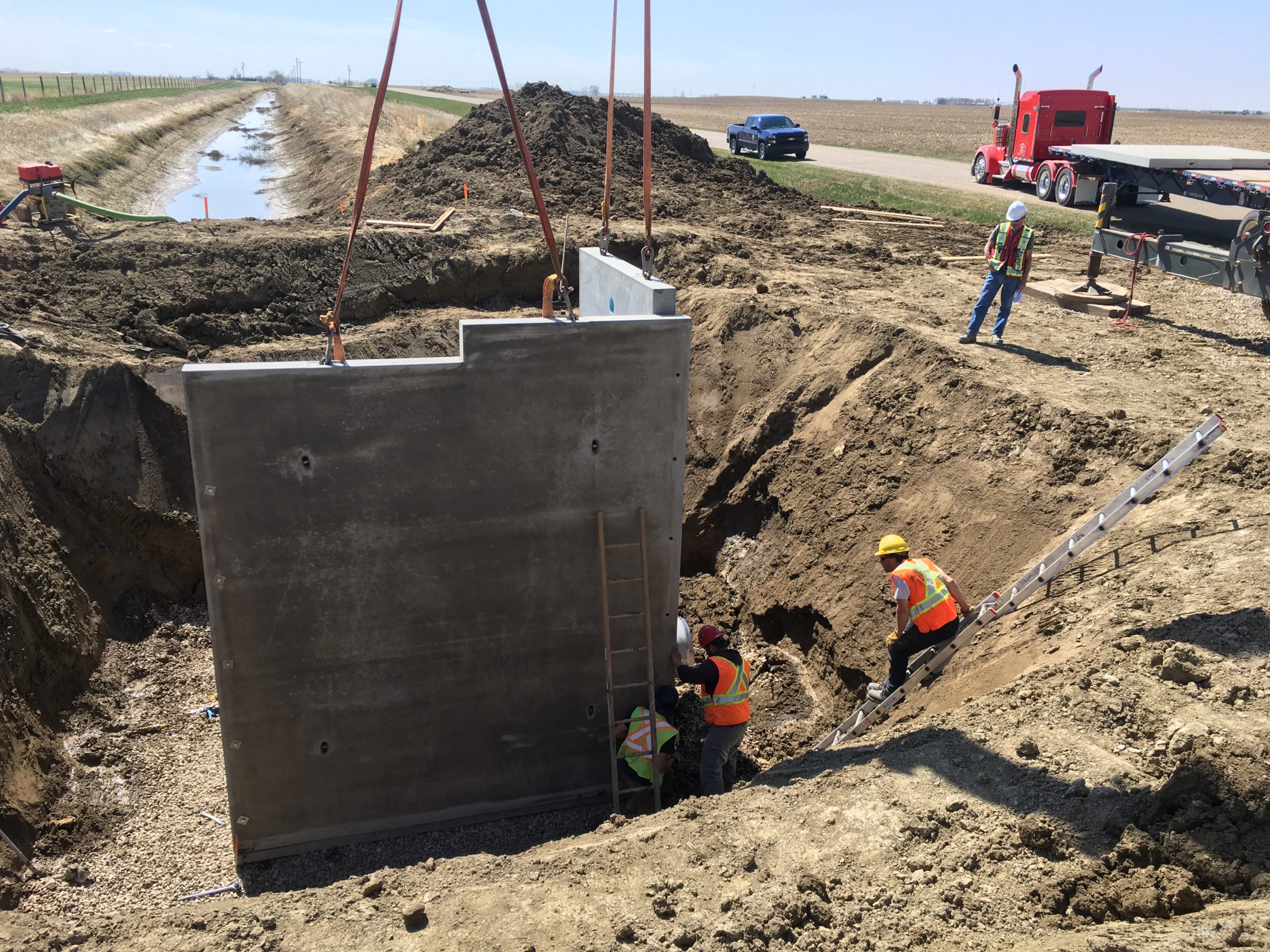
Today, 13 districts in southern Alberta are responsible for most of the province’s irrigation. They provide water for farmers, agri-food industries, and municipalities, while maintaining and improving infrastructure and ensuring the long-term sustainability of one of the province’s most precious resources.
As they were from the start, APEGA members remain key to their success.
“Just like when the first dams and reservoirs were built, irrigation today is vital for growth in southern Alberta and the province’s economy as a whole,” says Brent Smith, P.Eng., manager of engineering and operations at the LNID.
System improvements and conservation efforts will become even more important as demands on the province’s water supply increase.
“We must continue to use and manage our water resources as efficiently and effectively as possible to ensure that future generations can enjoy these benefits for another 100 years,” he notes.
Provincial Archives of Alberta – news footage of St. Mary’s dam/canal irrigation in 1959
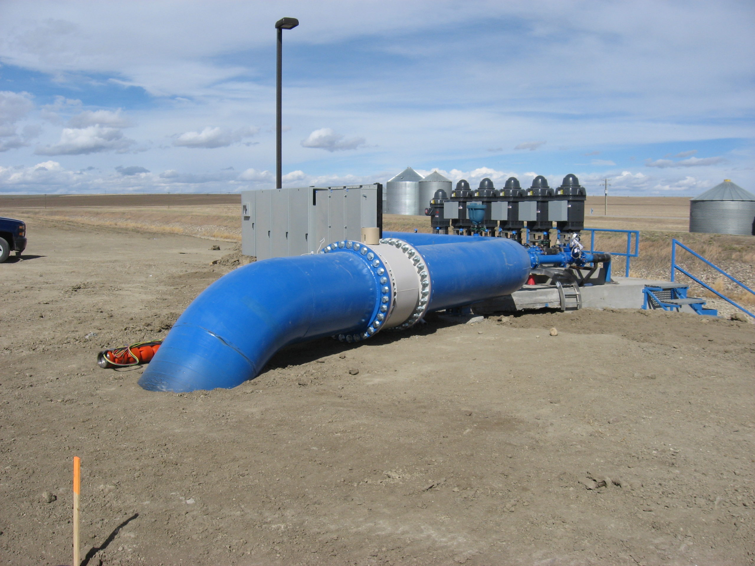
Demonstration of modern irrigation technology
