Photo courtesy of Paul Bauman, P.Eng., P.Geoph.
Changing Lives Through Geophysics
Exploring for aquifers in drought-stricken villages in Malawi. Locating water in the desert for refugees in Kenya. Uncovering a World War II escape tunnel in Lithuania.
For Calgarian Paul Bauman, a professional engineer and geophysicist, a career looking beneath the Earth wasn’t his immediate choice—he had received his undergrad in geological engineering.
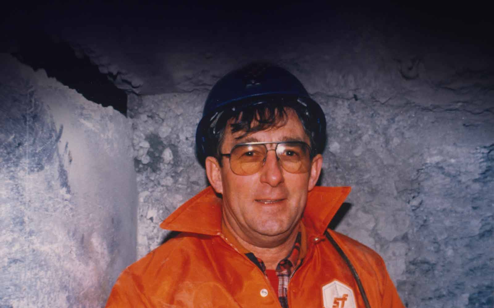
But when an early job with Schlumberger gave him an opportunity to travel off the beaten path—working in remote locations in Borneo, Indonesia, and Papua New Guinea—and submerge himself in the field of geophysics, he was hooked.
Six years later, in 1987, he enrolled in grad school at the University of Waterloo to pursue his interests in hydrogeology, water resources, and contaminants studies.
“By that point, I had been immersed in geophysics and appreciated what it could do, so I wanted to meld the two sciences together,” he remembers.
“It was my experience at Schlumberger and my desire to travel that brought me to geophysics and then helped me see how it could play a role in the sciences of contaminant hydrogeology and water resources development.”
One hundred villages
In 2000, Bauman implemented an innovative project in the Mangochi District of southeast Malawi, finding the best locations to drill for water in an area vulnerable to recurring droughts and a lack of water resources.
At the time, the success rate for drilling water wells was shockingly low—for every four wells drilled, only one found water.
A sophisticated geophysical investigation—paired with hydrogeological data, maps, and satellite interpretations—resulted in a drilling success rate of 93 per cent. The wells provided water to 105 villages in the district, dramatically improving water access for more than 60,000 people.
The project was completed just in time—one year later, Malawi was ravaged by a severe drought.
Finding water for refugees
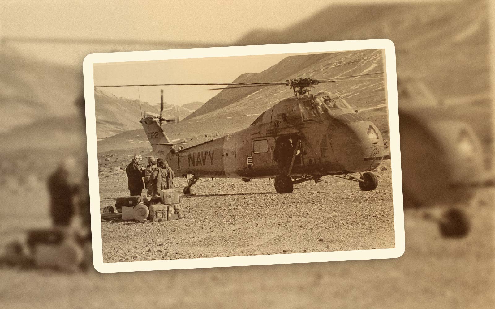
Sponsored by Geoscientists Without Borders, Paul travelled to the Kakuma Refugee Camp in Kenya, located near the borders of Uganda, South Sudan, and Ethiopia, in 2016. His mission: to find safe groundwater for the 185,000 refugees living in the Turkana desert.
Over two weeks, Bauman and his team provided a better understanding of the groundwater resources and located higher-producing wells with better water quality than had ever been found in the 25-year history of the camp.
“It’s a very powerful illustration of how science and geophysical techniques can be such a great improvement over simply drilling,” Bauman says. “In so many of these types of projects, drilling without geophysics is really just guessing. A little bit of science can get you so much further along.”
Paul Bauman, P.Eng., P.Geoph., explains to Chief Alfred, from the hamlet of Kalobeyei in the Turkana Desert, the interpretation of the seismic and resistivity program for siting new water wells.
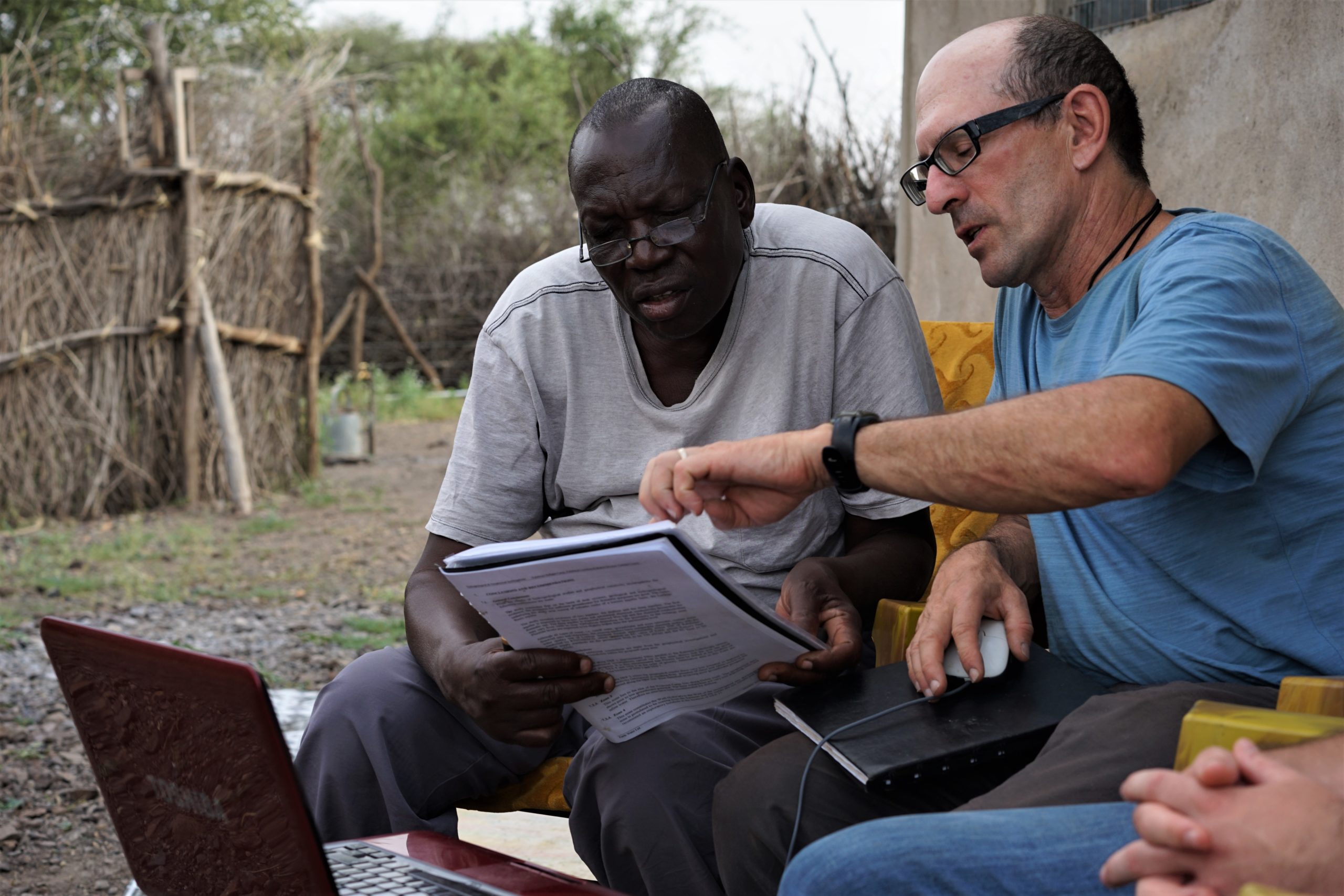
Photo courtesy of Paul Bauman, P.Eng., P.Geoph.
The Burning Brigade
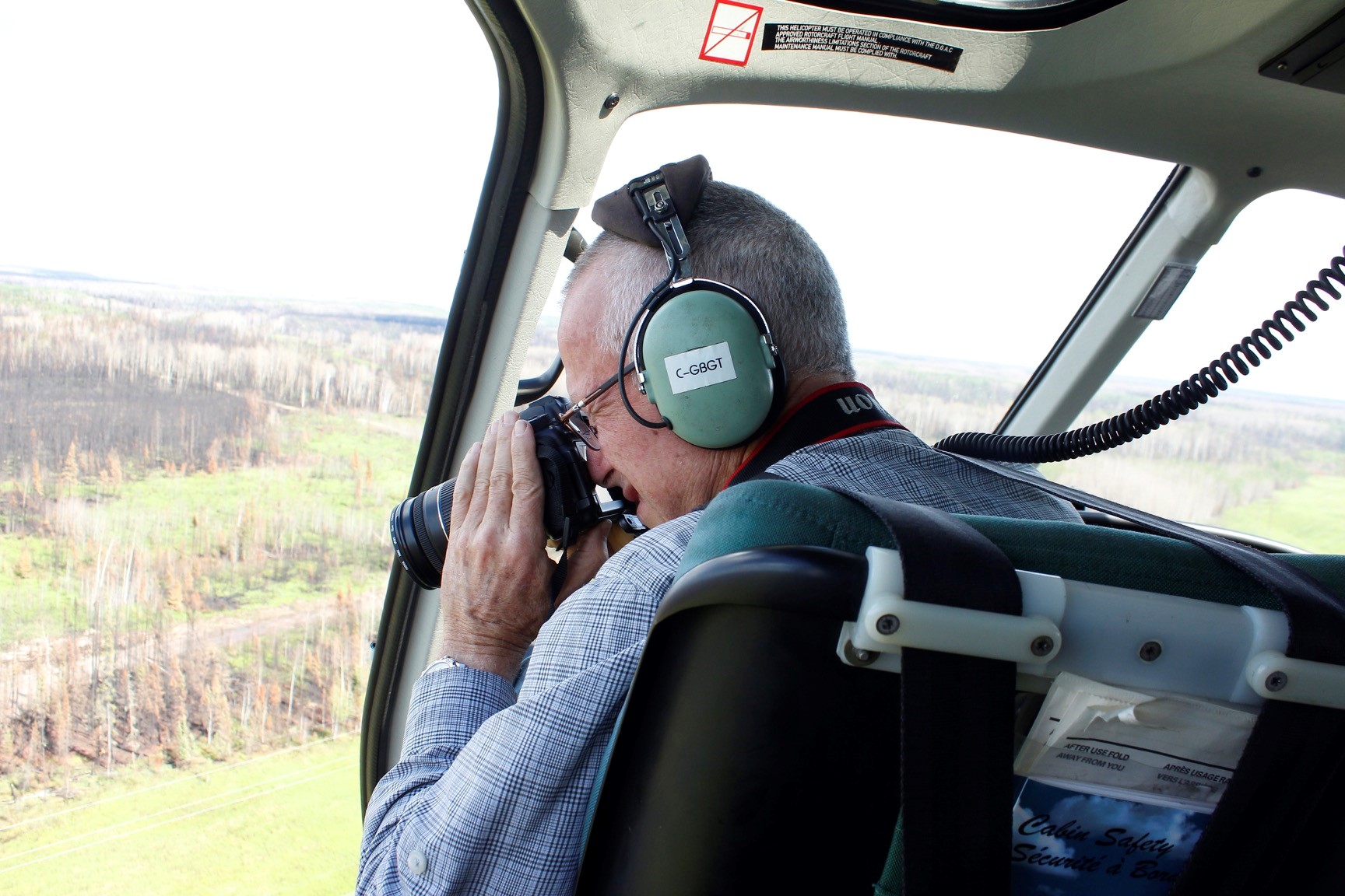
Three years ago, Bauman’s experience in discovering what’s buried underground without disturbing the earth brought him to Ponar, Lithuania, where he helped uncover an emotional story of wartime bravery.
The Nazis may be best known for their gas chambers, but that wasn’t their only approach to mass murder. In 1939, deep within the Paneriai forest, the soldiers and Lithuanian volunteers massacred 100,000 people—70,000 of them Jewish—by firing squad before throwing their bodies into at least six massive pits.
In 1943, as they retreated on the eastern front, the Nazis tried to cover up the genocide by ordering 80 prisoners—dubbed the Burning Brigade—to set fire to the evidence. But as prisoners started recognizing their loved ones in the pile of bodies, a new plan was hatched.
Using tools found among the dead, such as spoons and metal cups, they spent 76 nights tunnelling out of the pit and made a break for freedom.
Sadly, only 12 made it.
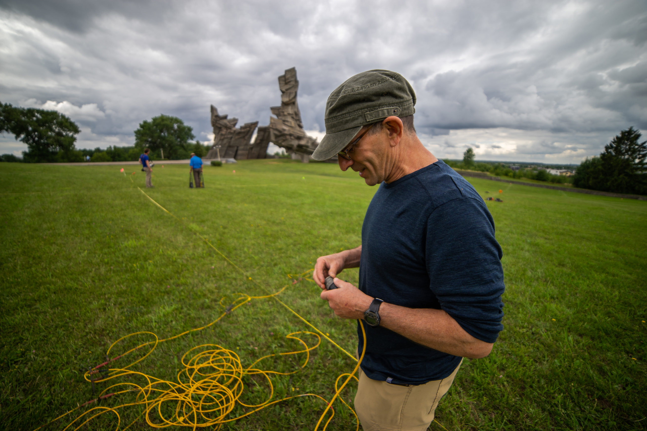
By 2017, the tunnel had been forgotten, and few people believed the story. But using ground-penetrating radar, electrical resistivity tomography, and drone photography, Bauman was able to locate the tunnel without disturbing the sombre site and prove the bravery of the Burning Brigade.
“The discovery brought forth an incredible narrative of resilience and human endurance in the face of overwhelming evil and odds,” Bauman says of the story that made international headlines. “What a wonderful thing to know that geophysics can create such an emotional and powerful response around the world.”
At the Nazi extermination site of Ponar near Vilnius, Lithuania, 100,000 people—including 70,000 Jews—were murdered and buried in pits. In Pit 6, 80 Jewish slave labourers were imprisoned and forced to exhume and burn the 100,000 corpses. In 1944, these prisoners dug an escape tunnel that history forgot. Paul Bauman, P.Eng., P.Geoph., and his colleague Alastair McClymont, P.Geo., used geophysics to relocate and map the tunnel.
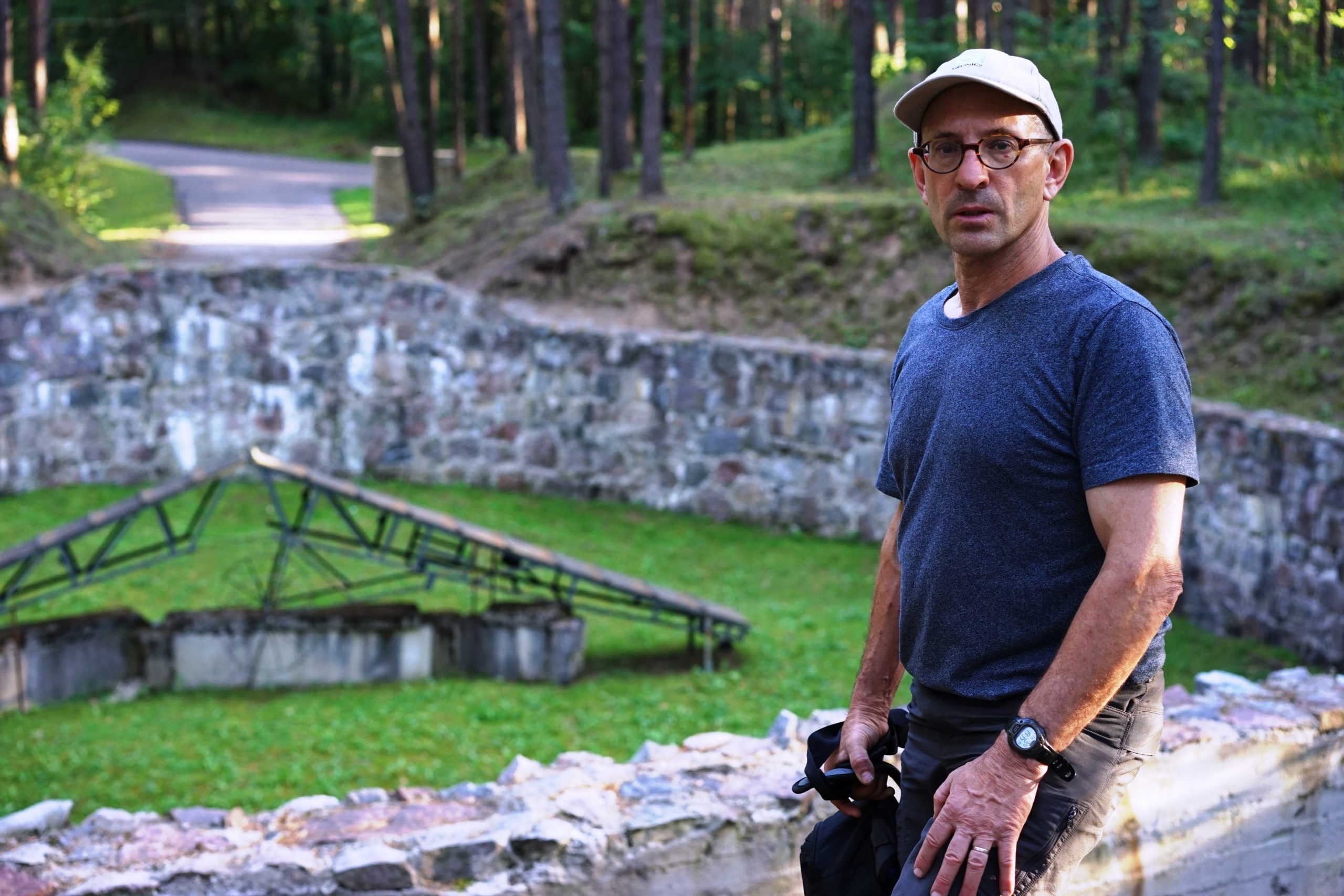
Photo courtesy of Paul Bauman, P.Eng., P.Geoph.
The future is bright
These are just three experiences that have made an impact on Bauman during his career, but there have been many.
He has identified shallow oil and gas deposits in Alberta using non-seismic techniques—“We took what the biggest oil and gas companies in the world do best and showed them how to do it better”—and trained marginalized youth in Uganda to find and access water. He assisted with the redevelopment and rehabilitation of water supplies in Indonesia after the 2004 Boxing Day tsunami. He has even mapped the floor of the Cave of Letters, where a cache of papyrus scrolls, dating slightly later than the Dead Sea Scrolls, was found.
These days, he’s assessing aquifer potential in the Mojave Desert in southern California and guiding horizontal drilling under creeks and rivers in Western Canada, among other things.
“The future holds a lot of promise,” he ventures. “I see geophysicists having more and more of a role—pretty soon, we’ll be doing everything except drilling the well.”
The Cave of Letters, located 100 metres below the top of a 300-metre overhanging cliff near the shore of the Dead Sea, was a refuge for Jewish rebels during the last years of the Bar Kochba revolt, from 132 AD to 135 AD. Paul Bauman, P.Eng., P.Geoph., used a number of different geophysical methods to map the ancient floor of occupation.
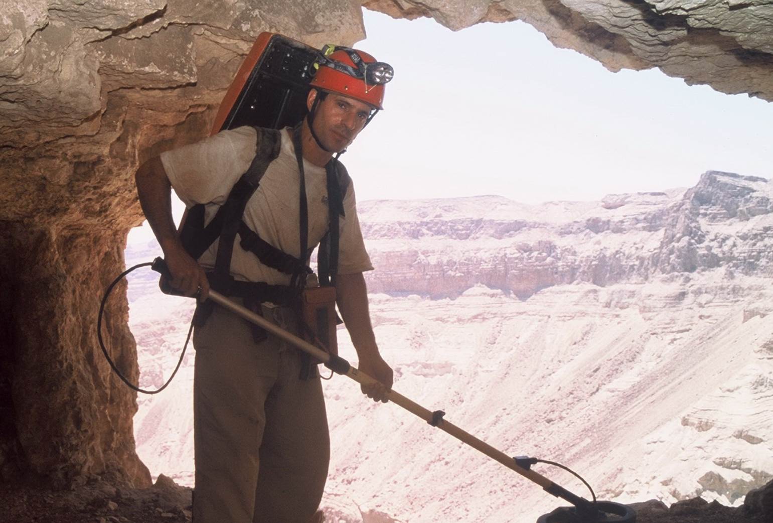
Photo courtesy of Paul Bauman, P.Eng., P.Geoph.
