Photo courtesy of Dr. Elizabeth Cannon, P.Eng.
Made to Measure: Mapping Success in Geomatics
Uber. Your Apple Watch. Even your household Roomba.
If you’ve ever relied on technology that knows where it is, you can thank a geomatics engineer.
Simply put, geomatics engineering is about collecting and analyzing spatial data, which is information with a location attached. It’s about mapping and measuring the Earth’s environment—its land, oceans, natural resources, and infrastructure. It’s about finding the best route from point A to point B.
And it’s driving new applications, new businesses, and new ways of developing solutions.
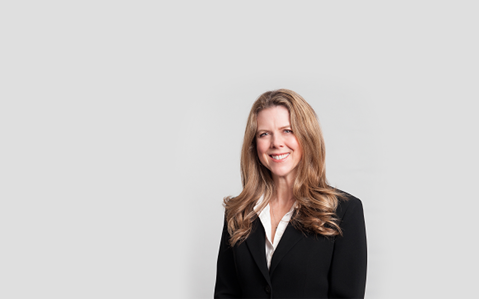
Elizabeth Cannon, P.Eng., PhD
Professional engineer Elizabeth Cannon, PhD, has been navigating the field for more than 35 years. Intrigued by what she saw as an exciting, frontier profession at the time, she earned a bachelor’s degree in geomatics from the University of Calgary in 1984—and then a master’s, and then a doctorate.
“When I started in geomatics as a professional, if I said I was working in GPS, people had no clue what I was talking about. Now, one just assumes that everyone knows what it is because it’s so prevalent.”
Decades later, Dr. Cannon’s work has ranged from determining the optimal amount of fertilizer to add to a farmer’s field, to figuring out how to land an aircraft on an aircraft carrier without a pilot.
She served as dean at the University of Calgary’s Schulich School of Engineering for four years before becoming the university’s president and vice-chancellor in 2010—the first woman to hold the position.
Dr. Elizabeth Cannon, P.Eng.
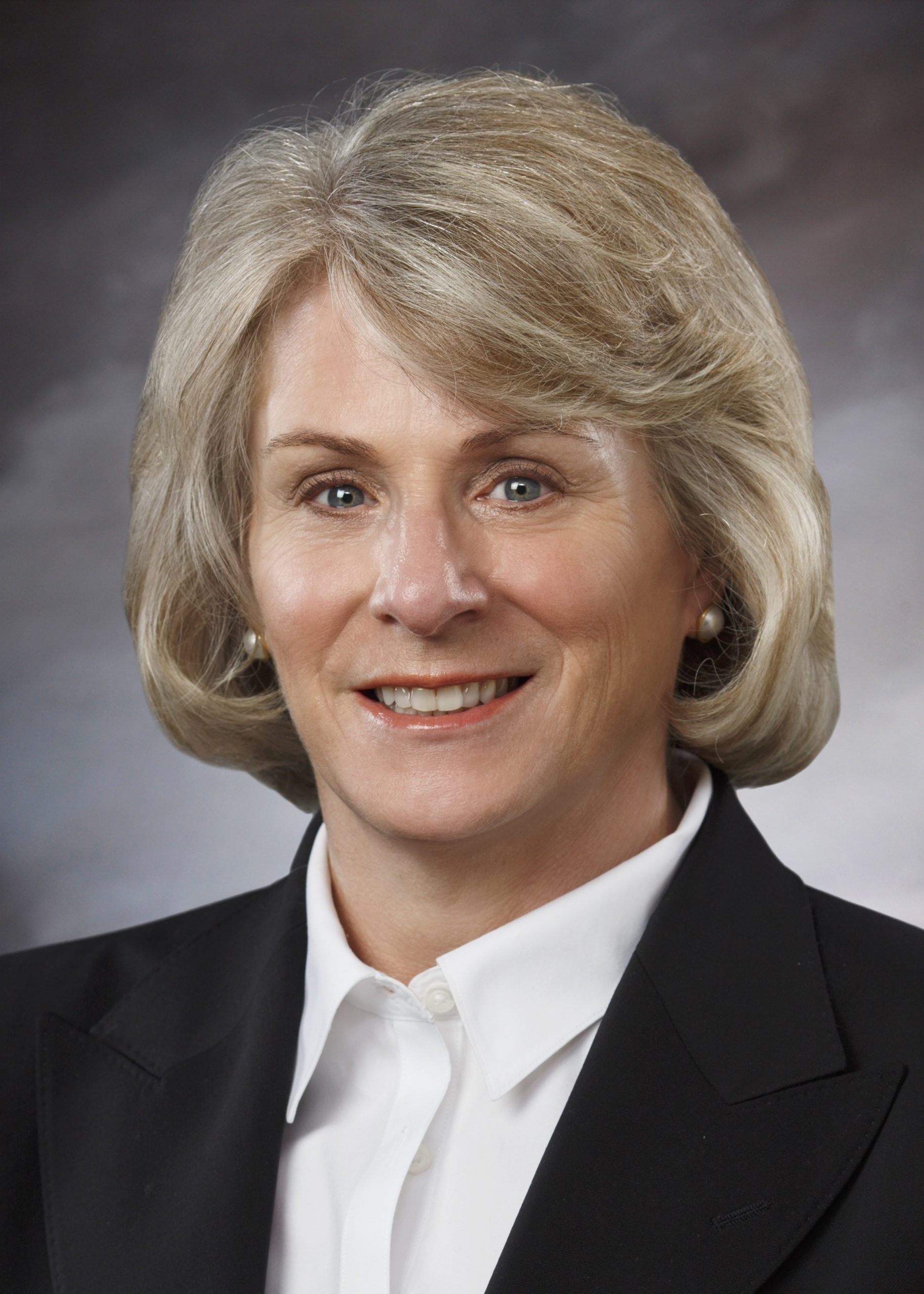
Photo courtesy of Elizabeth Cannon, P.Eng.
Currently a professor of geomatics at the University of Calgary, Dr. Cannon notes that while geomatics engineering may be a smaller field than some of the traditional engineering disciplines, its importance is just as great.
“Geomatics engineering is an evolving field, and it’s one that’s becoming more and more important. We’re using it even today to better understand the spread of COVID-19. How are people migrating? Where are they going? You can use your imagination to have a sense for all the other applications it can be used for all over the world. It’s an exciting field, and it’s one that has a huge impact on not only the economy, but on humanity.”
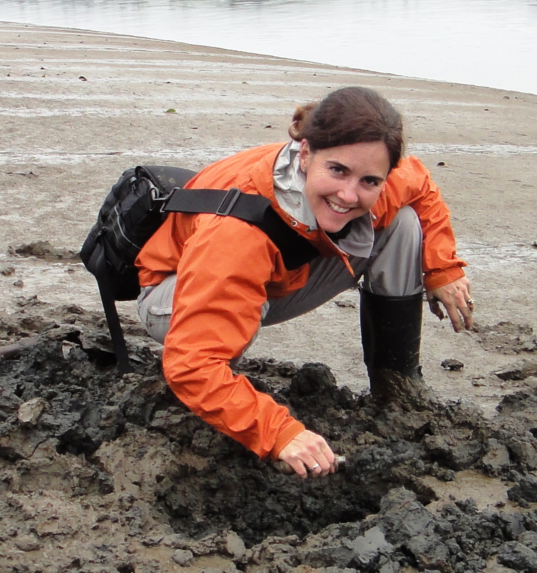
Dr. Elizabeth Cannon, P.Eng., with her graduate student, taking GPS measurements for a research project.
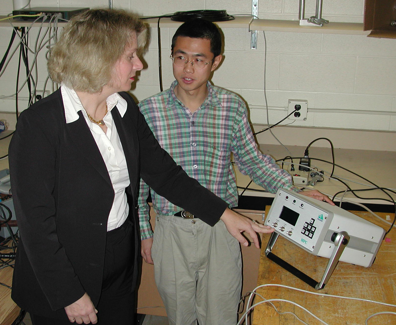
Photo courtesy of Dr. Elizabeth Cannon, P.Eng.
Zainab Syed, P.Eng., PhD
The senior director of navigation engineering at Trusted Positioning Inc. (TPI), a TDK Group Company, professional engineer Zainab Syed, PhD, received her bachelor’s degree in geomatics engineering in 2001. By 2009, she had completed the trifecta with a master’s degree in electrical engineering and a PhD in geomatics engineering.
Soon after, she co-founded TPI as a startup technology company that used low-cost, high-precision sensors to develop navigation software for devices such as smartphones, smart watches, and tablets. It was responsible for making location-based applications—like Enhanced 911, which automatically sends the phone number and location of the caller to the emergency operator—possible in areas where GPS and Wi-Fi might be unreliable.
In 2014, TPI was acquired by InvenSense, a New York Stock Exchange–listed sensor technology company, for just over $40 million. TDK Corporation acquired InvenSense in 2017, and three years later made TPI into an independent software company—and TDK’s first positioning software business ever. Dr. Syed is helping lead the company in its charge forward.
“Every project is meaningful as my team and I create navigation software that is reliable and robust, using the lowest-cost sensors and [Global Navigation Satellite System] chipsets. Our projects are high-risk, so when we get a working software at the end, it’s always exciting.”
Currently developing navigation products for e-scooters and e-bikes, Dr. Syed sees no limit to what geomatics professionals can accomplish.
“Geomatics engineering will continue to be an important field even if we are able to solve all the geomatics problems on Earth. There are many planets in this galaxy to explore, and to go there you need a good navigation system, a good map, and proper surface models.”
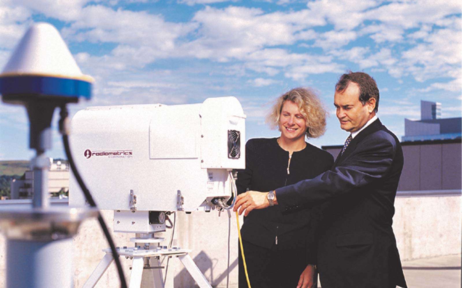
Dr. Zainab Syed, P.Eng.
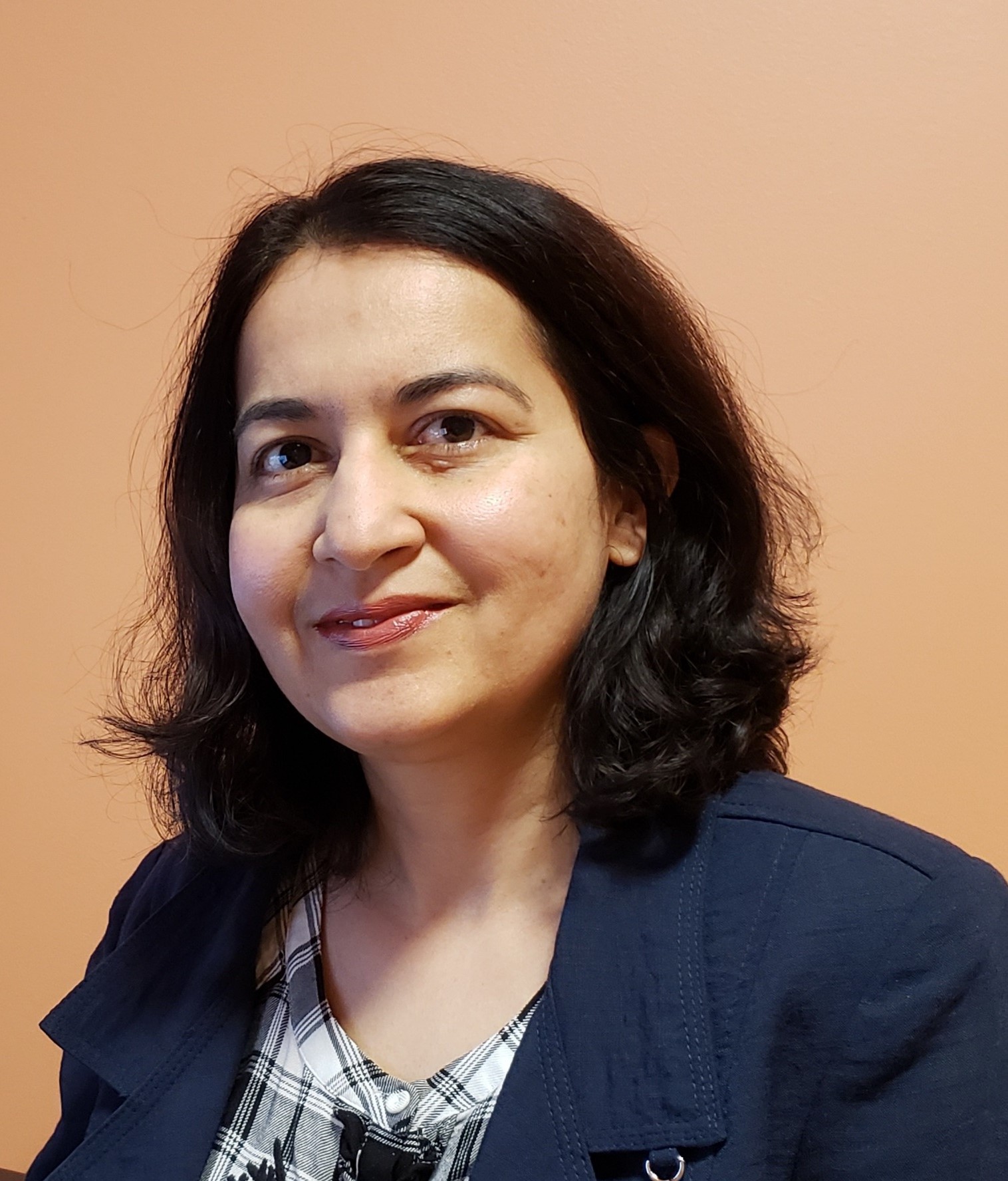
Photo courtesy of Dr. Zainab Syed, P.Eng.